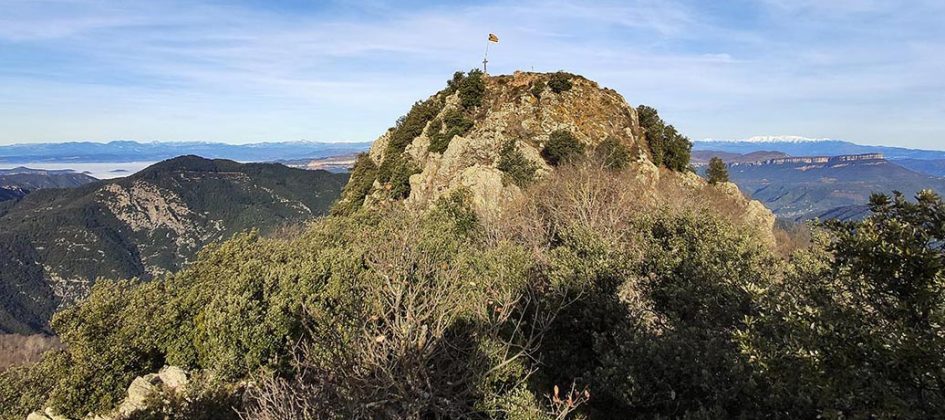
Sant Miquel de les Formigues trail
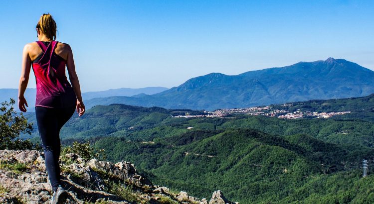
This route goes up among firs, holly oaks, oaks, chestnut trees and European beeches to Sant Miquel de les Formigues, also known as Solterra. From there, you can enjoy Les Guilleries with Montseny in the background in the south, and the cliffs of Collsacabra in the north.
At the end of the 10th century, Les Guilleries formed a single place around Solterra, where there was a castle. The castle, called Solterra, is in the historical heart of Les Guilleries. It was not a residential place, but a watchtower used to communicate with other zones, such as the Castle of Mascarbó and La Rovira.
It is believed that the castle Solterra, located in the middle of Sant Miquel hill, was demolished by the earthquakes of 1425 and 1432.
In the past, there was a chapel, as we found it documented in some papers from the 1240s. It had to be very small and it was located inside the castle. It is also thought that due to the earthquakes, the chapel collapsed and it was never rebuilt again. However, there are some documents from 1641 which talk about the existence of a bell. Considering the location and the passing of time, it is believed that it was very difficult to preserve.
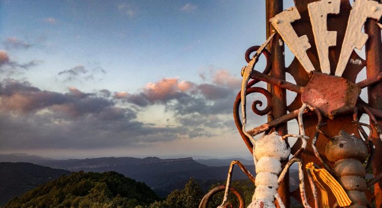
Today, we can still see some of its ruins (which could be the wall) and a round tower foundation which supports the Cross of Les Guilleries, a huge wrought iron cross placed in 1957 by the hiking group of the town Forces, forts i ferms. The cross was paid by people and the summer visitors’ contributions, since the town council did not have enough money that year.
In the past, every 29th December there was an excursion, a mass and a fraternity lunch. This tradition is now lost.
Access the route’s wikiloc and view the route. It is a medium-level route, which can be done in about 1 hour and 20 minutes, is 3.9 km long and has a 272-metre incline.
This route can also be done from the Can Calabrès car park, where the GR that goes towards Osor leaves. Access the route’s wikiloc and view the route. In this case, the route takes around 1 hour and 40 minutes and is 5.4 km long